|
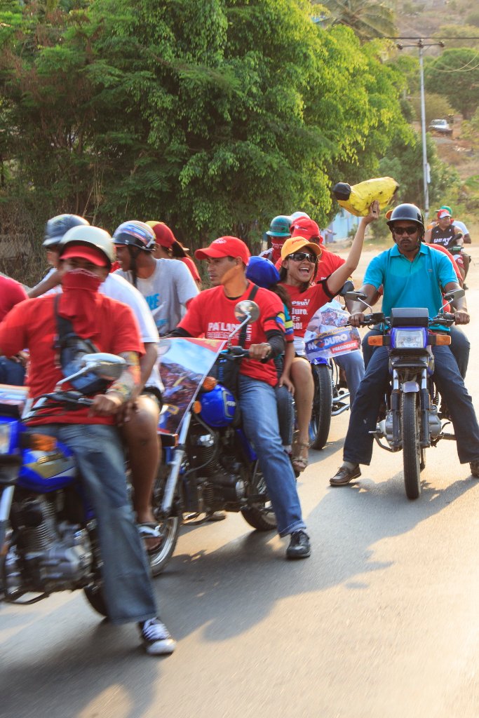 |
| On the way to Río Caribe for a election meeting | |
| Latitude: N 10°26'43,08" | Longitude: W 63°53'24,41" | Altitude: 26 metres | Location: Golindano | City: Cumaná | State/Province: Estado Sucre | Country: Venezuela | Copyright: Ron Harkink | See map | |
| Total images: 26 | Help | |